
Accurate Data That Drives Confident Decisions
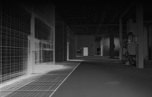
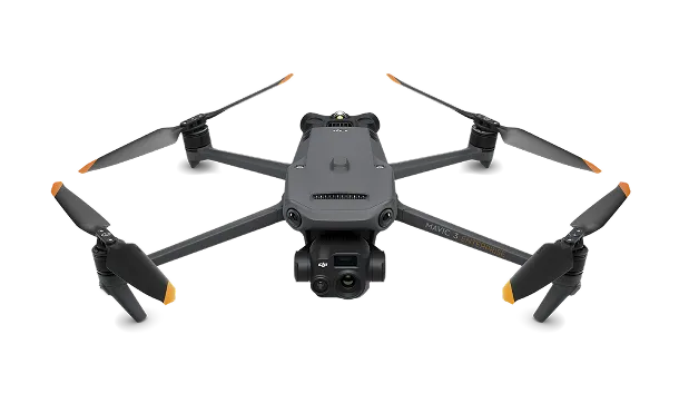
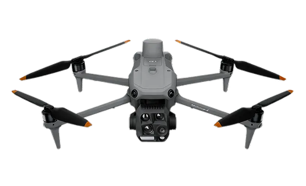
We’re currently developing our advanced mapping and surveying services using cutting-edge drone technology. Soon, we aim to provide detailed elevation models, site measurements, and geo-referenced imagery for construction, land development, environmental studies, and more. Please ask or message us for details—we’d be happy to discuss how we may be able to assist your project

Contact Us Today!
© 2025 Darksky Aero. All Rights Reserved.
Designed and Developed by Thrasker.